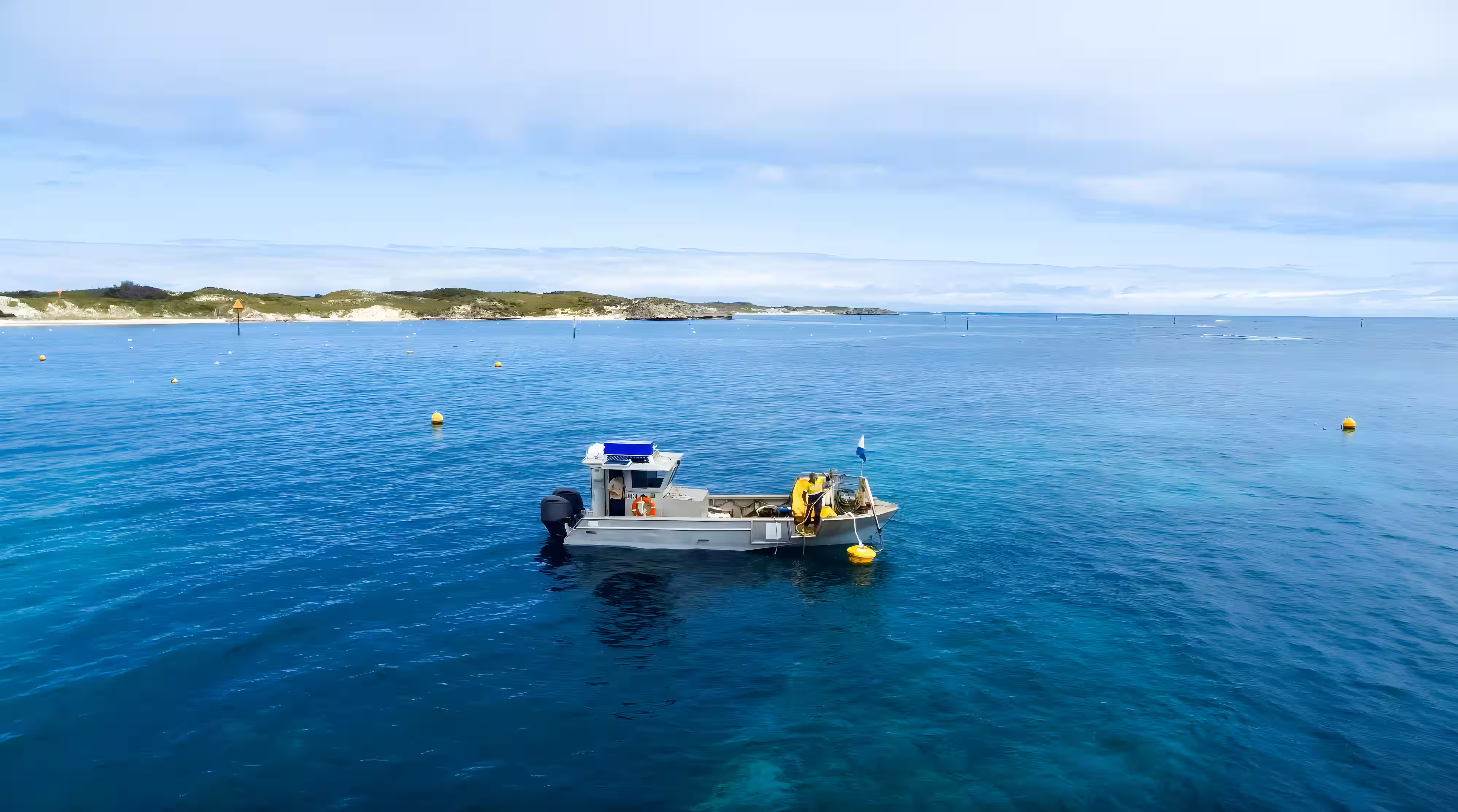

Waterway Services
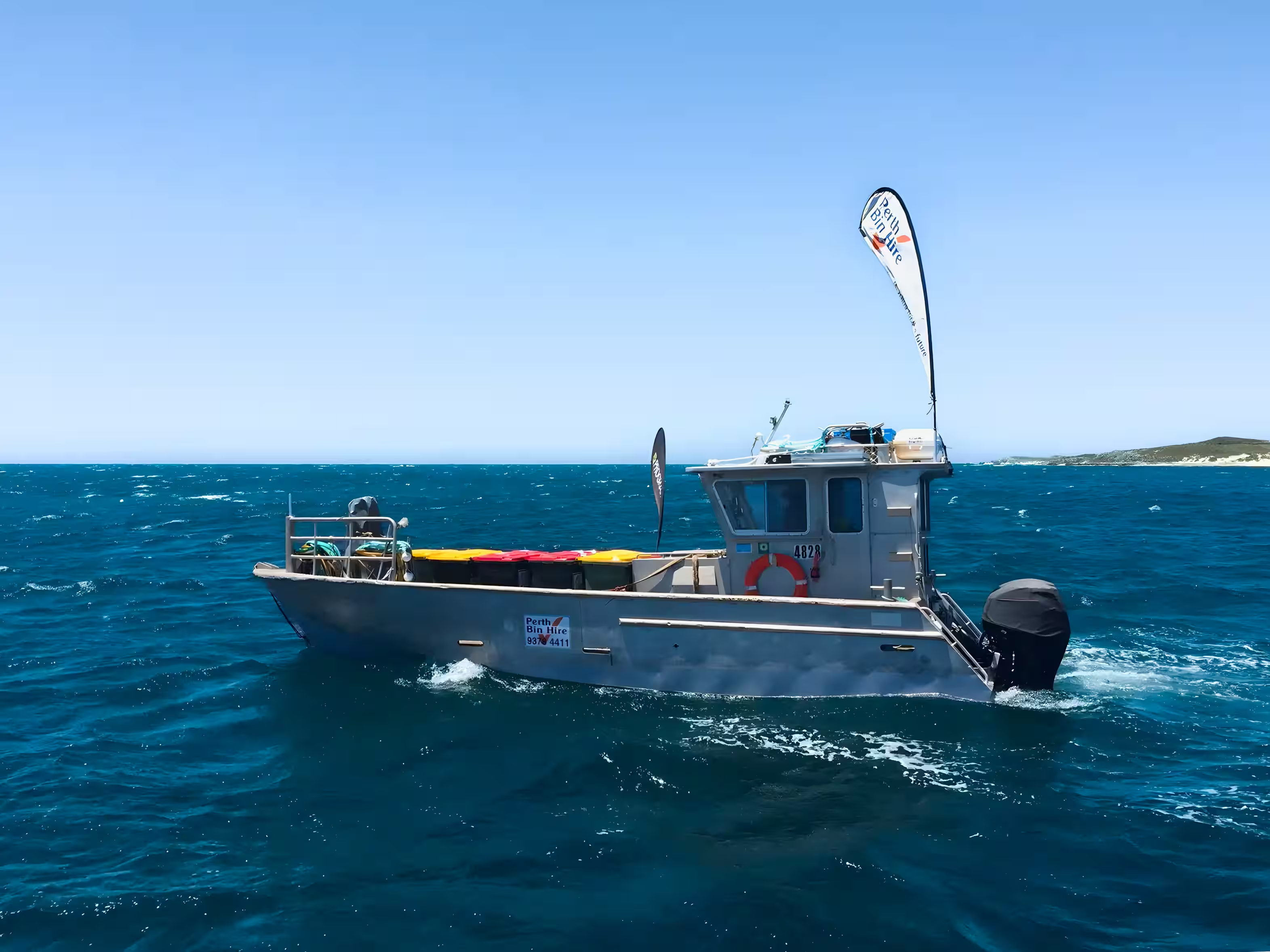
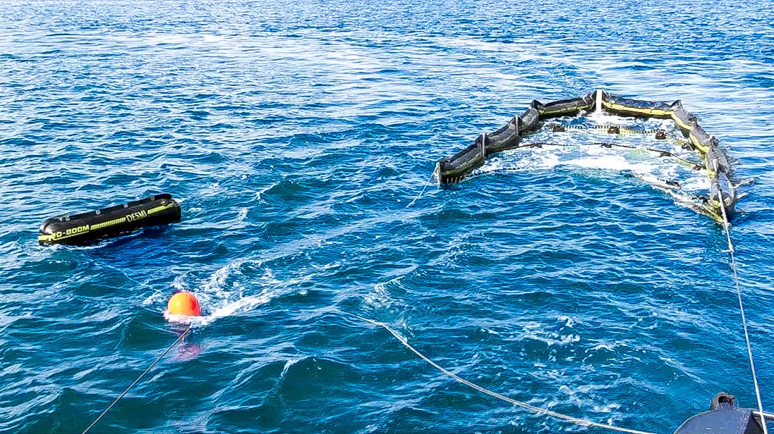
Waterway Cleanup
We deploy vessels to remove debris, floating waste and hazards from marinas, waterways and coastal environments. Our team works alongside councils, marine authorities and government departments to protect marine ecoystems from degradation.
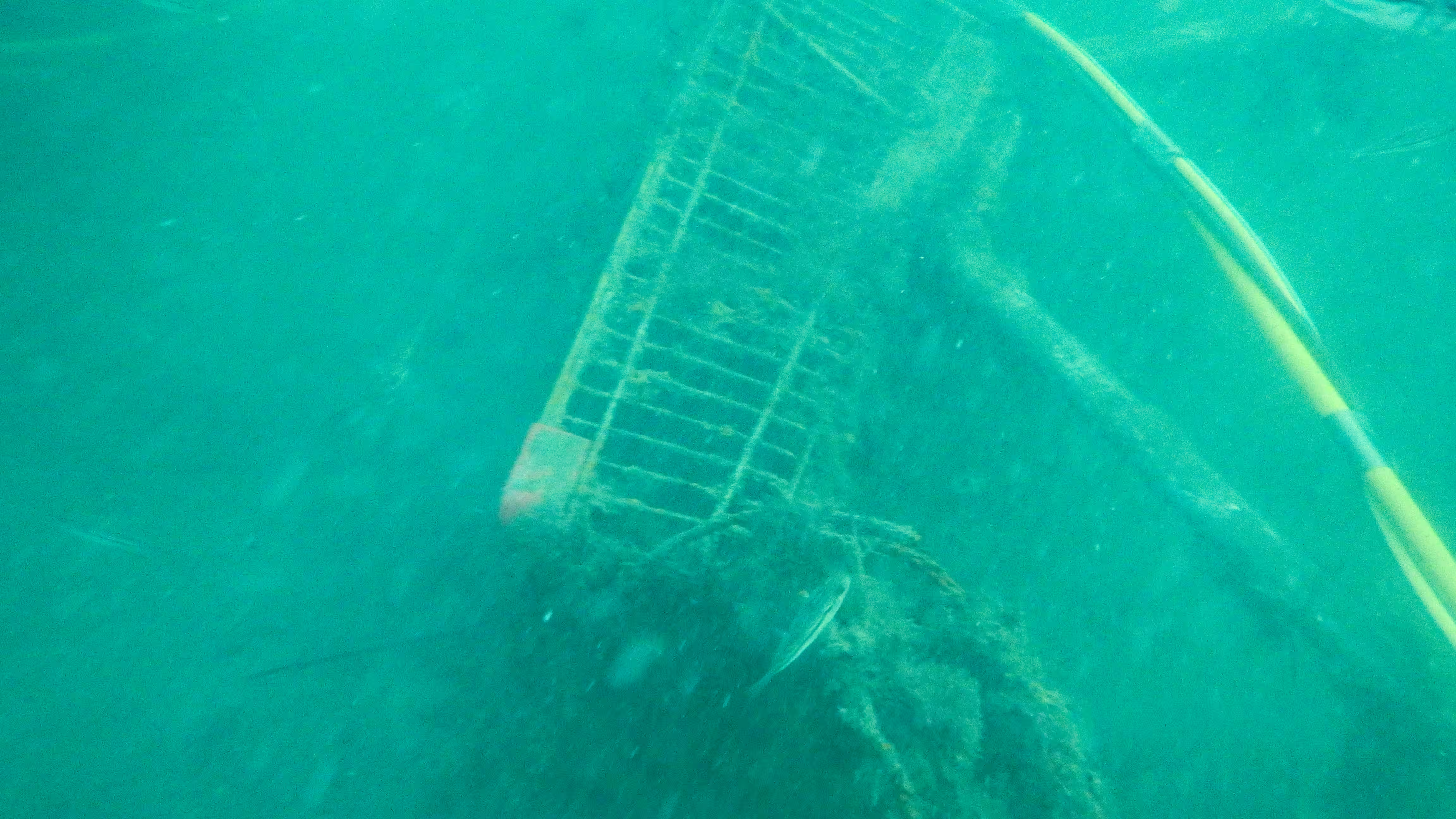
Hydrographic Surveys
We deliver hydrographic surveys by integrating leased sonar and positioning systems directly onto our vessels. Our team operate this equipment to depths of up to 50 metres, capturing accurate seabed data to support navigation, planning and marine infrastructure.

We combine waterway cleaning with hydrographic surveying and mapping to support waterway health and informed marine planning, delivering practical outcomes in active marine environments.
We provide practical, on-water environmental services that improve water quality and protect sensitive marine habitats.
We deliver hydrographic surveying and mapping to support planning, assessment, and decision-making.
We provide subsea hydrographic surveys up to 50 metres depth to support marine planning and navigation.